EXPLORE Surtsey with this slideshow, check the location map and get all the facts and information below.
For slideshow description see right or scroll down (mobile). Click to view slideshow

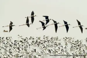
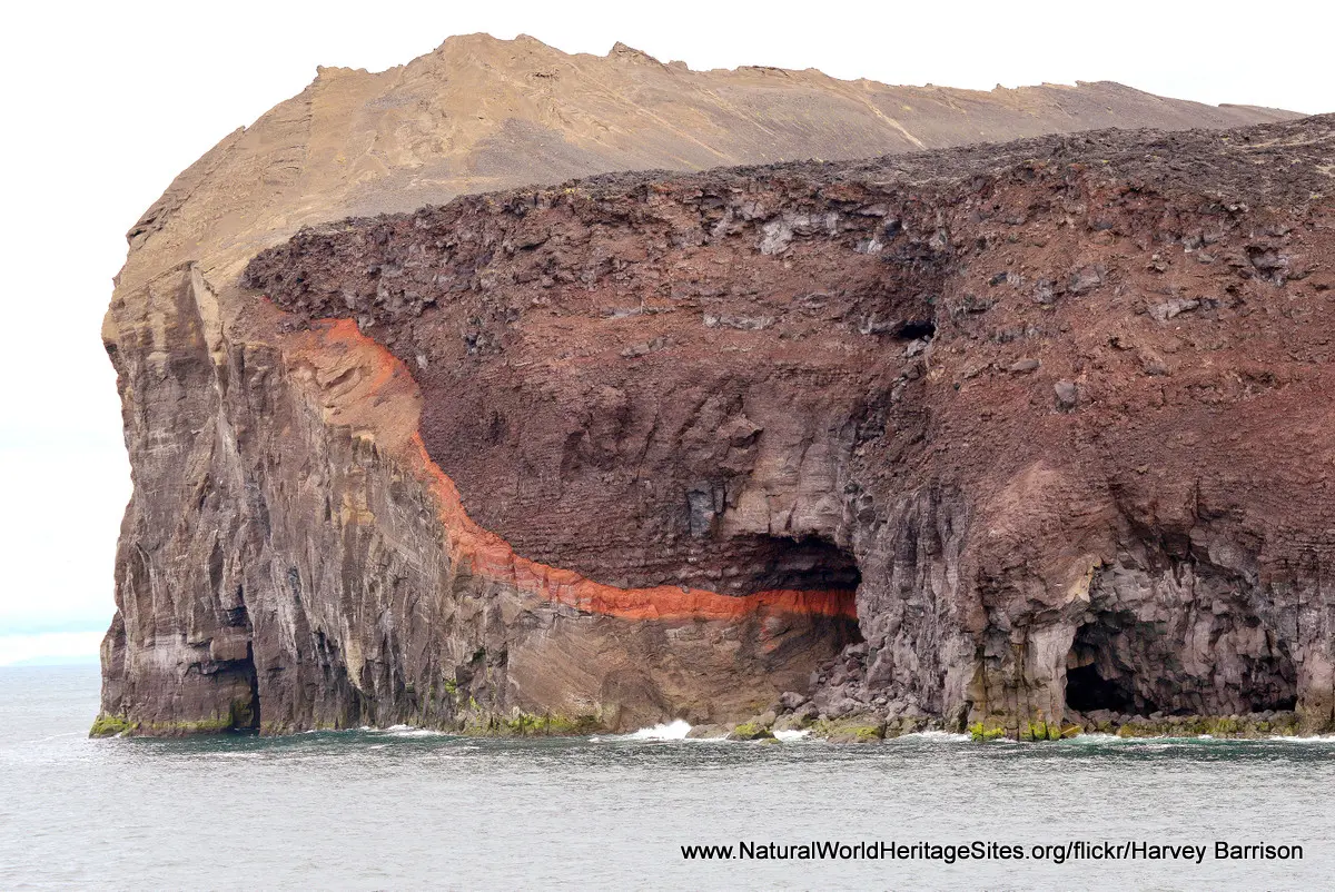
Location and Values: Surtsey is a small volcanic island that emerged from the ocean, about 30 km off the south coast of Iceland, during volcanic eruptions in the 1960s. It has been totally protected since its creation, providing a unique natural laboratory to study the processes of colonization by plant and animal life. Forty years after its emergence the island had been colonised by as many as 60 species of vascular plants, some of them carried as seeds by ocean currents. Eighty nine species of birds and 335 invertebrates have now been recorded.
Conservation Status and Prospects. According to IUCN’s Conservation Outlook Assessment (2020) the conservation status of Surtsey is ‘good’. The IUCN report notes that Surtsey is a highly controlled location, which includes a surrounding marine area, with strict biosecurity measures for any scientists going ashore. No other visitors are permitted on the island. Nevertheless, invasive alien species remain a significant potential threat, and the proximity of fishing and sightseeing tourism boats, as well as cruise ships and larger vessels may result in pollution, oil spills and solid waste washing ashore. The process of colonization will also be affected by climate change and its impact on the ecology of the surrounding seas and nearby islands (as these serve as potential sources of colonizing plants and animals).
Links:
Google Earth
Official UNESCO Site Details
IUCN Conservation Outlook
UNEP-WCMC Site Description
Birdlife IBA
Slideshow description

The slideshow ‘tells the story’ of Surtsey with a portfolio of photos that illustrate its landscape features and some aspects of the colonization process that is underway. It starts with a series of photos of the island from offshore, showing the distinctive geology of its volcanic origins, and some areas of flatter land near the shore where plant colonization has become quite extensive, 60 years after the island appeared. The second part of the slideshow features a rare series of photos by Erling Olafsson taken in various locations onshore, where the process of plant colonization is demonstrated in more detail. The slideshow is concluded with a few images from the time of the original eruption, viewed from the air, in 1964.
Factfile
Website Categories:
Islands;
Earth Features
Area: 34 km2
Inscribed: 2008
UNESCO Criterion:
- Ecological processes (ix);